


Unresolved legacies of the past
Kuwait protests Iraq’s new maritime maps in fresh border row
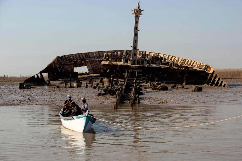
At the heart of the renewed tension lies the long-running dispute over Khor Abdullah, one of the most sensitive files in relations between the two oil-producing neighbours.
Monday 23/02/2026

Unresolved legacies of the past
KUWAIT CITY – Kuwait summoned Iraq’s chargé d’affaires on Saturday evening to deliver a formal protest after Baghdad unilaterally deposited updated maritime coordinates and a new boundary map with the United Nations, in a move Kuwait described as containing “claims” that infringe upon its sovereignty and territorial waters.
The Kuwaiti Foreign Ministry said the protest came “in light of Iraq depositing a list of coordinates and a map with the United Nations that included claims regarding Iraqi maritime domains.”
According to the statement, the submitted coordinates and map included an infringement on the sovereignty of the State of Kuwait over its maritime areas and fixed and stable water elevations in relation to the Republic of Iraq, such as Fasht Al-Qaid and Fasht Al-Aij, which have never been the subject of any dispute regarding Kuwait’s full sovereignty over them.
Acting Deputy Foreign Minister Aziz Rahim Al-Daihani summoned Zaid Abbas Shanshal, Iraq’s chargé d’affaires in Kuwait, to hand over the official note of protest.
Kuwait urged Iraq to take into account “the historical course of relations between the two brotherly countries and their peoples” and to act responsibly in accordance with international law, particularly the 1982 UN Convention on the Law of the Sea (UNCLOS), as well as existing bilateral understandings, agreements and memoranda of understanding between the two states.
UNCLOS, which entered into force in 1994, provides the comprehensive legal framework governing maritime boundaries, jurisdiction, resource management and the peaceful use of seas and oceans.
Earlier on Saturday, Iraq’s Foreign Ministry announced that it had deposited updated lists of coordinates for its territorial sea baselines and maritime zones with the UN Secretary-General on 19 January and 9 February, in accordance with UNCLOS provisions.
Baghdad said the submission includes the determination of straight baselines and baselines drawn along the low-water line for measuring the breadth of the territorial sea, as well as the delimitation of Iraq’s territorial sea, contiguous zone, exclusive economic zone and continental shelf, in accordance with the internationally recognised World Geodetic System 1984 (WGS-84).
The Iraqi government said the deposit replaces previous submissions dated December 7, 2021 and April 15, 2011 and aims “to update Iraq’s maritime data in line with the provisions of international law and enhance the legal clarity of the boundaries of maritime zones subject to Iraq’s sovereignty and sovereign rights.”
Baghdad added that the coordinates and charts have been published on the website of the UN Division for Ocean Affairs and the Law of the Sea, reiterating its commitment to international law and regional stability.
At the heart of the renewed tension lies the long-running dispute over Khor Abdullah, one of the most sensitive files in relations between the two oil-producing neighbours. The issue carries legal, sovereign and economic dimensions, alongside its historical background linked to the aftermath of Iraq’s 1990 invasion of Kuwait under then-President Saddam Hussein.
Although diplomatic relations were restored in 2003 following the fall of Saddam’s government, and ties have improved markedly over the past two decades, the maritime boundary question has continued to strain political and diplomatic links.
Following the 1991 Gulf War, the UN demarcated the land boundary between the two countries under Security Council Resolution 833 in 1993. Kuwait maintains that the resolution comprehensively settled both land and maritime boundaries. Iraq, however, argues that the decision did not fully cover the deeper offshore maritime limits.
Tensions escalated last year over the demarcation of maritime areas beyond marker 162, a seaward extension of the boundary that remains unresolved since Resolution 833.
Iraq objects to the use of the “median line” principle in Khor Abdullah, preferring instead demarcation based on the “deepest navigable channel” (thalweg), arguing that Iraqi sections of the waterway suffer from heavy silt accumulation. Kuwait rejects this interpretation.
The dispute intensified in September 2023 when Iraq’s Federal Supreme Court ruled the Khor Abdullah agreement unconstitutional, stating that its ratification had not complied with the Iraqi constitution, which requires a two-thirds parliamentary majority to approve international treaties.
Kuwait reacted angrily at the time, describing the ruling as based on “invalid historical claims” and lodging a formal protest with Baghdad.
The decision triggered domestic controversy in Iraq over the country’s constitutional and international obligations and its maritime rights in the Gulf. Critics accused Prime Minister Mohammed Shiaa al-Sudani of attempting, according to leaked documents, to quietly reactivate the maritime agreement with Kuwait despite the court’s ruling.
Advisers to the prime minister dismissed the backlash as part of an early electoral campaign, arguing that the strong reaction was driven by political manoeuvring ahead of upcoming elections.
Observers say the repetition of formal protests and diplomatic exchanges could gradually build a legal case that may eventually lead one side to seek adjudication before the International Court of Justice or the International Tribunal for the Law of the Sea, a process that could take years before binding maritime boundaries are imposed.
For now, both Kuwait and Iraq insist on their adherence to international law. Yet the renewed exchange over maritime coordinates underscores how unresolved legacies of the past continue to reverberate across the Gulf, threatening to complicate otherwise improving relations between the two neighbours.